A case study of desertification hazard mapping using the MEDALUS (ESAs) methodology in southwest Iran
Article Sidebar
Main Article Content
Abstract
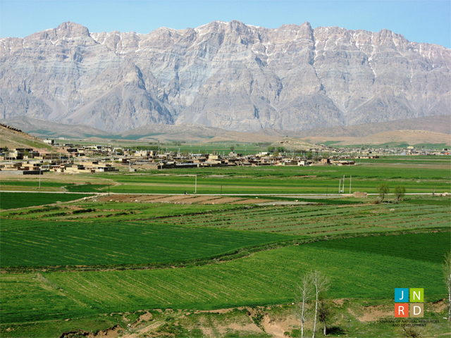
Understanding environmentally sensitive areas (ESAs) prone to desertification can lead to substantial gains in the efficiency of land use planning and partly avoid negative outcomes. The main objectives of this research were the monitoring and mapping of ESAs to desertification in the agro-ecosystem of the Khanmirza plain, Iran, during two time series (2000 and 2013). In the current study, an adjusted “Mediterranean desertification and land use (MEDALUS)” approach was applied to identify the most ESAs to desertification in the study area and monitorchanges inthe environmental sensitivity area indicator (ESAI)between 2000 and 2013 over the studied area.Fivemain thematic indicators have been evaluated including, Soil quality indicator (SQI), Management quality indicator (MQI), Climate quality indicator (CQI), Vegetation quality indicator (VQI), and Irrigation water quality indicator (IWQI). Results show that the areas affected by the critical desertification status covered approximately 7% of the farmlands and the meadowlands in this agro-ecosystem region in the year 2000. Likewise, in 2013, almost 24% of the study area was sensitive to and affected by desertification, giving a rate of increase of approximately 1.3% per year.More than half of the land used for agriculture has been moderately to severely degraded. The results also show that the central places intheregionwere affected by farmlands and meadowlands degradingto barrenlands due to mismanagement and a lack ofeffective planning withland and water resources. However, rehabilitation of irreversibly degraded land requires serious measures that aim torestore the capability of those areas and increase resistance to degradation through effective planning in water and land in the region.
Article Details
Issue
Section

This work is licensed under a Creative Commons Attribution-NonCommercial-NoDerivatives 4.0 International License.