
Evaluation of methods for digital elevation model interpolation of tillage systems
Article Sidebar
Main Article Content
Abstract
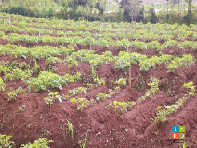
There are very little attempts of DEM evaluation in such a disturbed or discontinuous surface (e.g., in tillage area). Present study aims to evaluate common interpolation methods (triangulation, nearest neighbor, natural neighbor, minimum curvature, multiquadratic radial basis function (MRBF), ordinary kriging, and inverse distance weight) in representing the detail topography of two different tillage types, namely bench terrace and furrow. Evaluation procedure was conducted through a stepwise analysis by using combination between the accuracy level (coefficient of determination (R2), mean error (ME) and standard deviation error (S)) and the shape similarity analysis. This study also shows the application of break-line function during the interpolation process in order to optimize some interpolation methods and the usage of drainage sink area as another step in evaluating DEM quality. To achieve the aim of this study, two field-size of dry-land agriculture (tegalan) were observed by using a set of total station Nikon DTM 322 with 3” angle accuracy. These plots, namely Tieng (1652 m²) and Buntu (673 m²), are situated in the upper part of Wonosobo District, Central Java Province, Indonesia. Tieng plot represents the bench terrace system embedded with stones on its terrace risers and showing relatively smooth ground surface. On the other side, Buntu plot shows the ridges and furrows system that lays perpendicularly to the contour lines. In terms of R², ME and S, there were slight differences in results between each method, except the multiquadratic radial basis function which was failed to generate terrace form in Tieng. The final result shows that triangulation is the best fit method followed by natural neighbour at representing the bench terraces in Tieng plot. In the case of furrow in Buntu plot, natural neighbour is the most accurate method. Despite its superiority at representing the bench terrace, triangulation has larger sink drainage area compared to natural neighbour. This study has confirmed the robustness of a stepwise analysis between quantitative and qualitative assessment techniques for DEM accuracy. A fine value of quantitative parameter does not necessarily mean that it will fairly possess a good spatial accuracy.
Article Details
Issue
Section

This work is licensed under a Creative Commons Attribution-NonCommercial-NoDerivatives 4.0 International License.